


 Hover to zoom
Hover to zoom
Hover to zoom
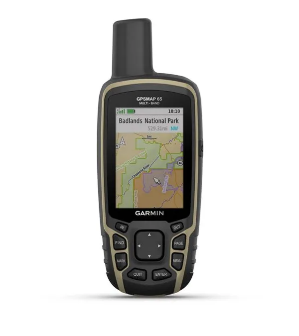

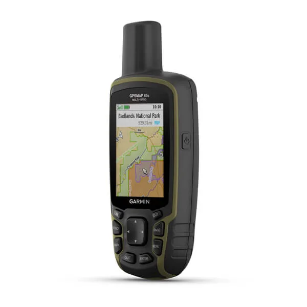
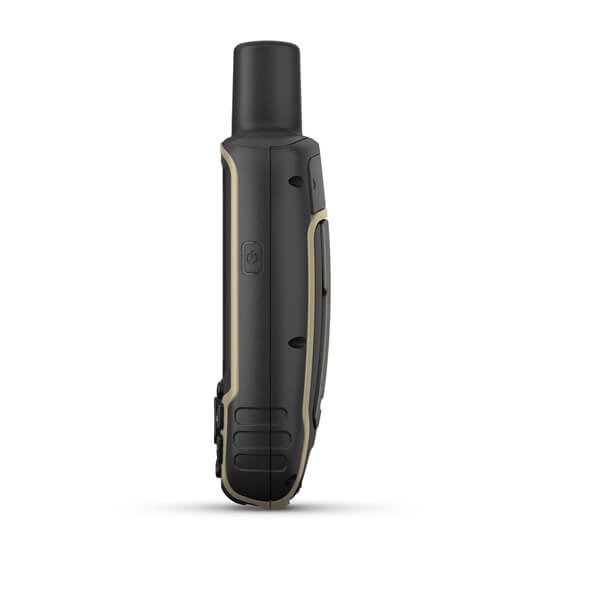
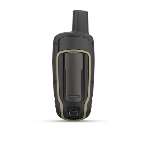
https://youtu.be/VaLMXCx9rqc FIND YOUR WAY IN THIS BIG, WIDE WORLD Explore more with this rugged handheld that offers multi-band frequency support for our most accurate position to date, a 2.6” color display and preloaded maps.
GPSMAP 65 — available now at Tigera, the official Garmin store in Oman. Genuine unit with regional warranty, free delivery within 72 hours across Oman and the GCC.
Explore more with this rugged handheld that offers multi-band frequency support for our most accurate position to date, a 2.6” color display and preloaded maps.

Don’t miss a detail with this large, sunlight-readable color display.

Lead the way in challenging locations with multi-band technology and expanded GNSS satellite support.

Cross the countryside with routable TopoActive maps for the U.S. and Canada.

Venture confidently. This rugged handheld is built for tough environments.

Organize your adventure from anywhere with the Garmin Explore™ website and app1.

Travel with up to 16 hours of battery life in GPS mod
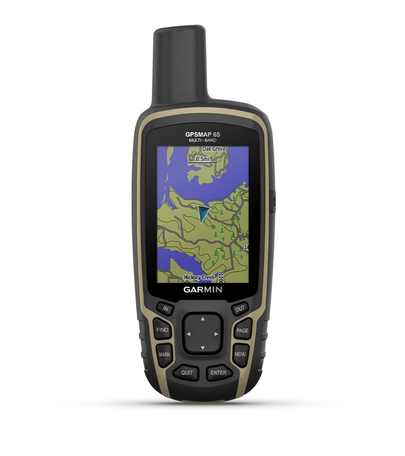
Access multiple global navigation satellite systems (GPS, GLONASS, GALILEO and QZSS) to track in more challenging environments.
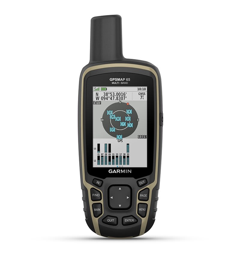
Receive and utilize multiple frequencies sent by navigation satellites which enables improved user position accuracy, specifically in areas where GNSS signals are reflected, weak or typically do not penetrate. Get superior accuracy using state of the art technology, previously only available to the military.
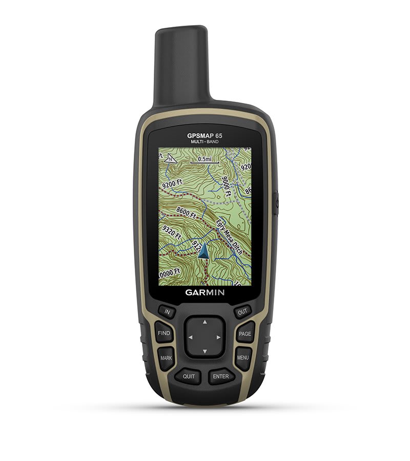
Preloaded TopoActive maps show you terrain contours, topographic elevations, summits, parks, coastlines, rivers, lakes and geographical points.
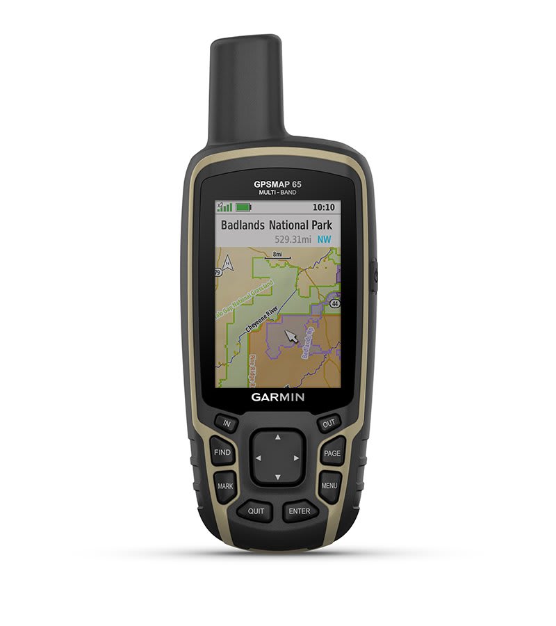
An optional display of federal public land boundaries on topographical maps helps you know that you’re venturing where you’re supposed to be.
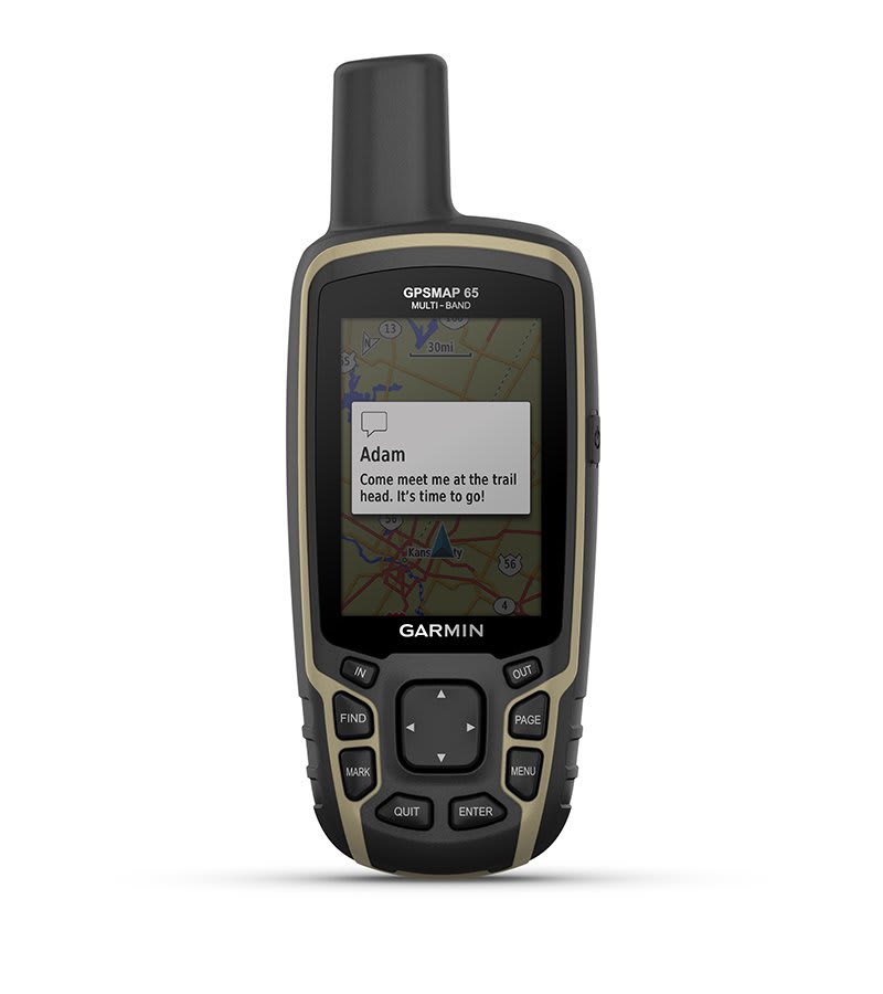
Receive emails, texts and alerts right on your handheld when paired with your compatible device.
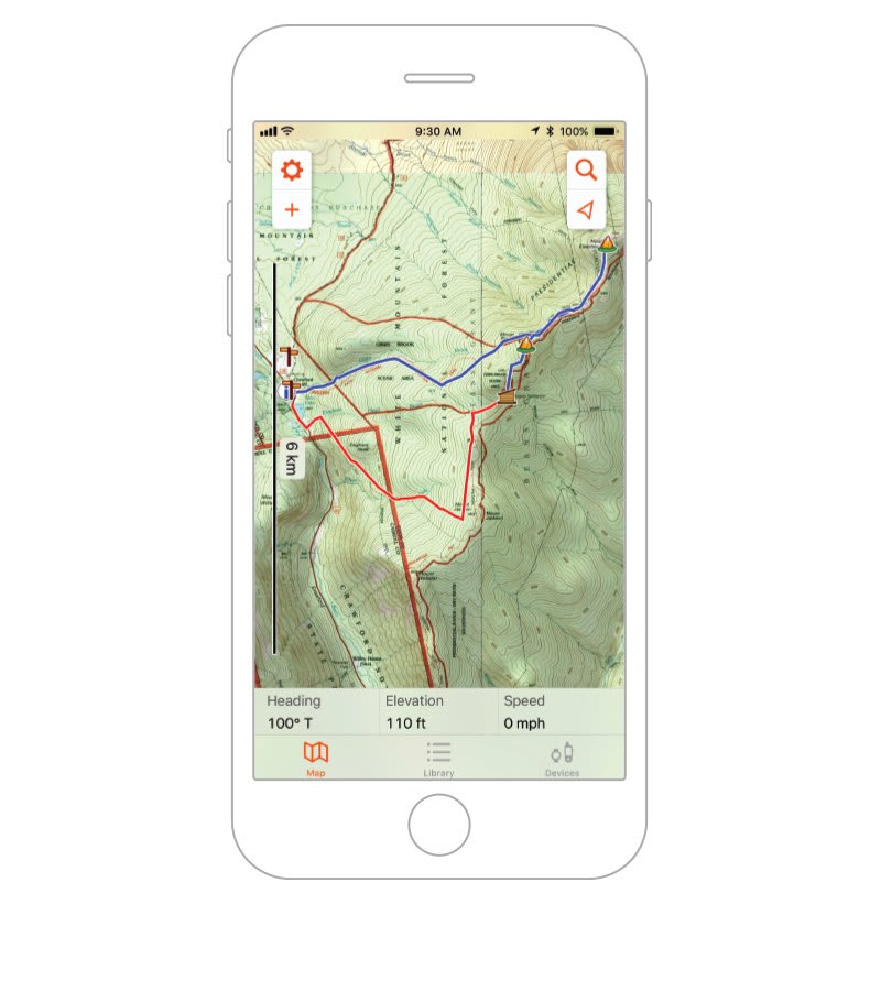
Plan, review and sync waypoints, routes and tracks by using the Garmin Explore app1 and website. You can even review completed activities while still in the field.
Using your compatible device and microSD memory card, conveniently download TOPO 24K maps and hit the trail, or access HuntView Plus maps to see public land types and boundaries as well as private landowner names and boundaries.
Get paperless geocaches by uploading GPX files straight to your device. View key information such as location, terrain and hints from Geocaching.com.
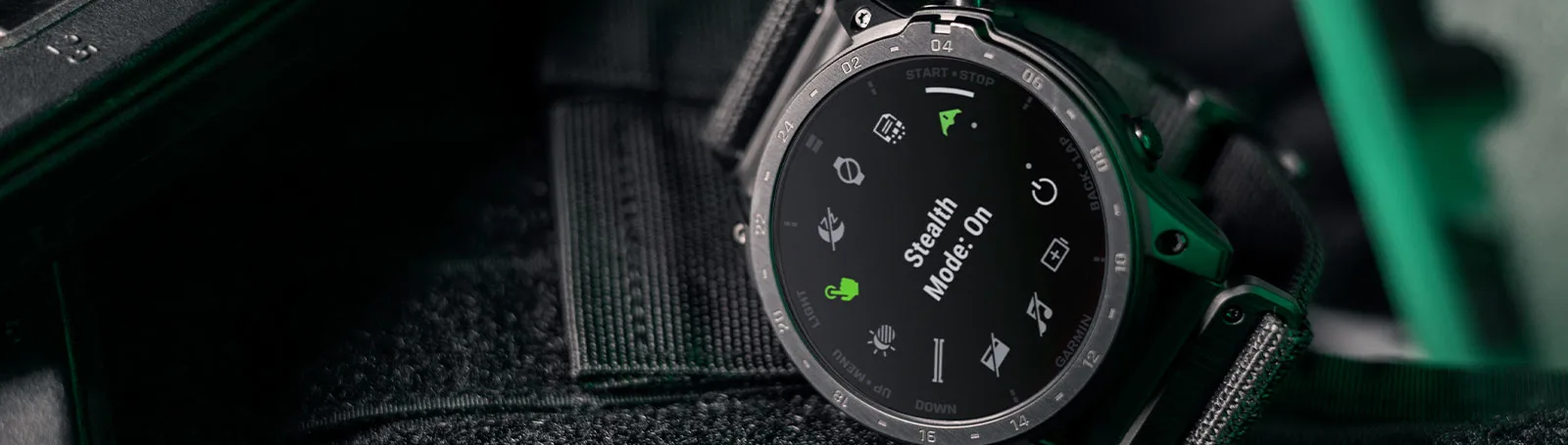
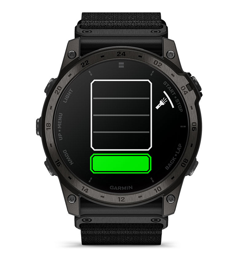
To help guide your way in low-light conditions, a built-in multi-LED flashlight provides quick access to a bright, steady beam in either green or white light. In NVG mode, white is disabled, and the green flashlight becomes dimmable.
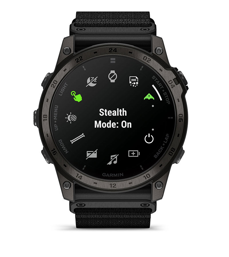
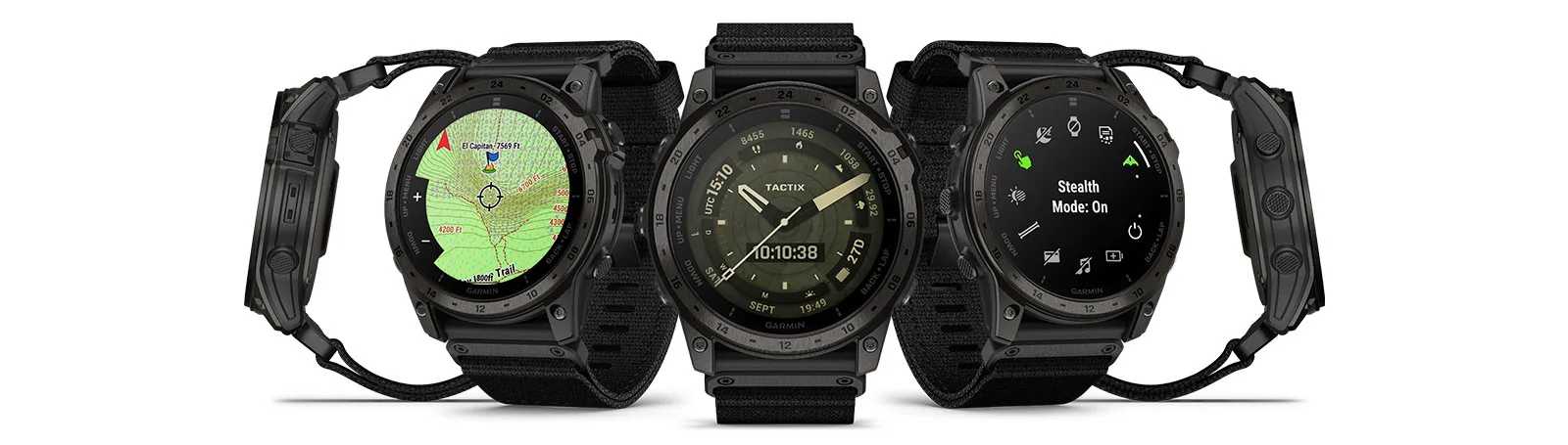
Whether viewed under NODs or operating in the dark, NVG mode allows for stealthy operation with controls to further dim brightness to less than one nit and black out the display to remain undetectable.
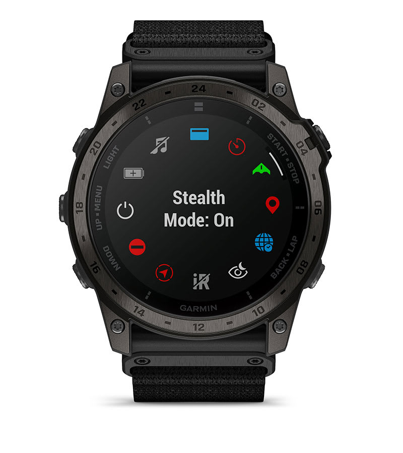
While keeping the watch operational, stealth mode stops storing your GPS position and disables wireless connectivity and communication.
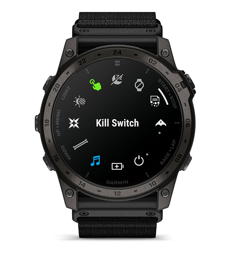
If security becomes an issue, the kill switch immediately wipes the device of all user memory.
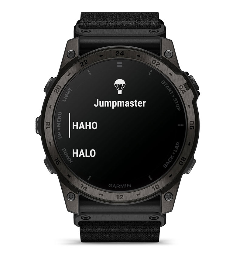
This feature works to calculate high-altitude release points according to military guidelines and helps to navigate you to your objective once you’ve jumped.
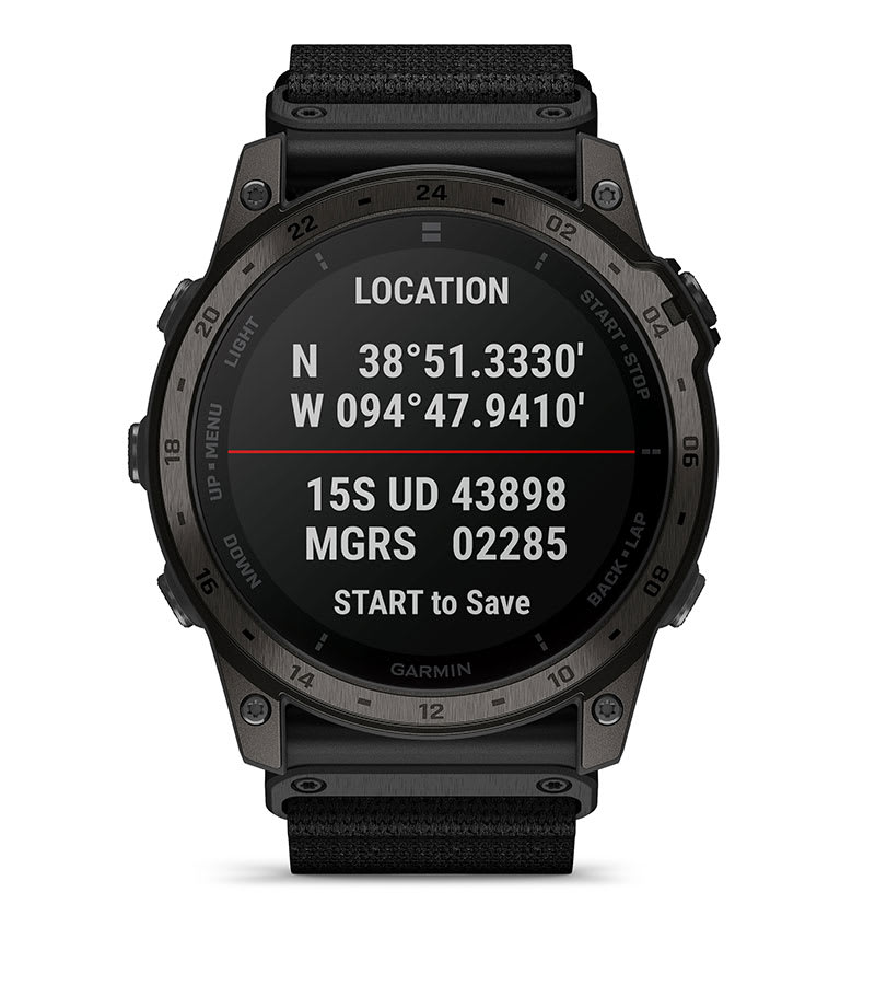
Easily sync your location with others by seeing both the universal transverse mercator and military grid reference system on the same screen.
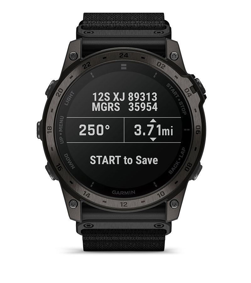
Set and save remote geo positions to be used later for navigation.
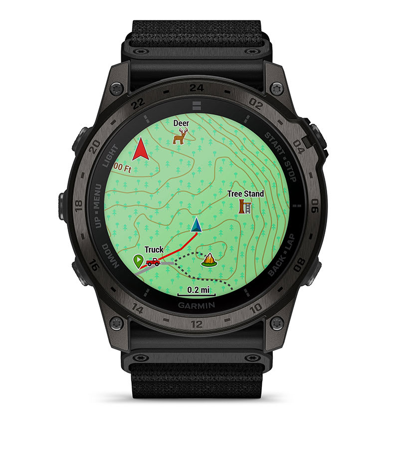
Track your hunt, and mark hunt-specific waypoints directly on your watch.
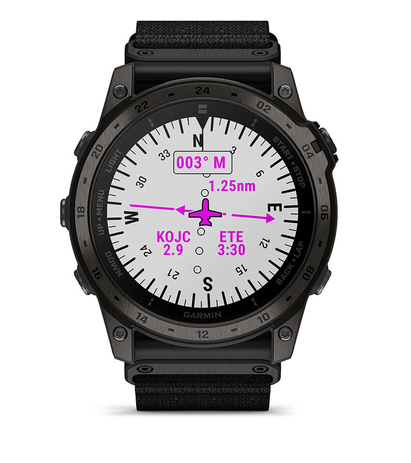
Navigate straight to a location or waypoint in the worldwide aeronautical database. Or choose the Nearest function to activate a path to a nearby airport.
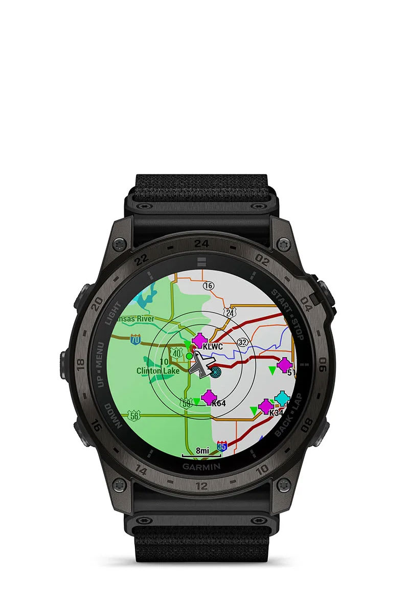
Access aviation weather, including NEXRAD radar, METARs and TAFs, to see winds, visibility, barometric pressure and more1.
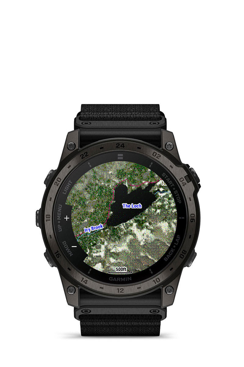
Subscribe to Outdoor Maps+ for premium mapping content, such as satellite imagery and enhanced topo maps, downloaded directly to your watch.
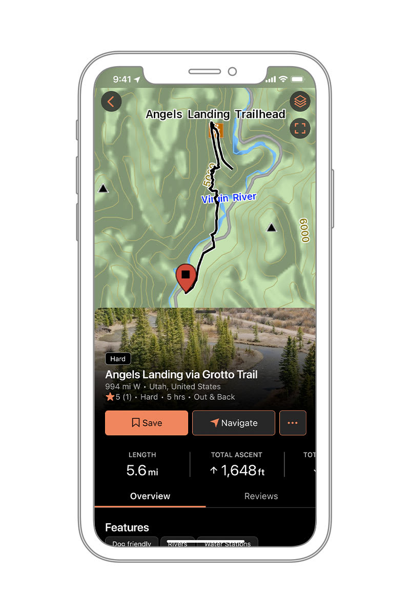
Access thousands of trails, and send them directly to your compatible device for offline use with a subscription to Garmin Connect+ in the Garmin Connect™ app or to Outdoor Maps+ in the Garmin Explore™ app. Available in select areas. Learn more.
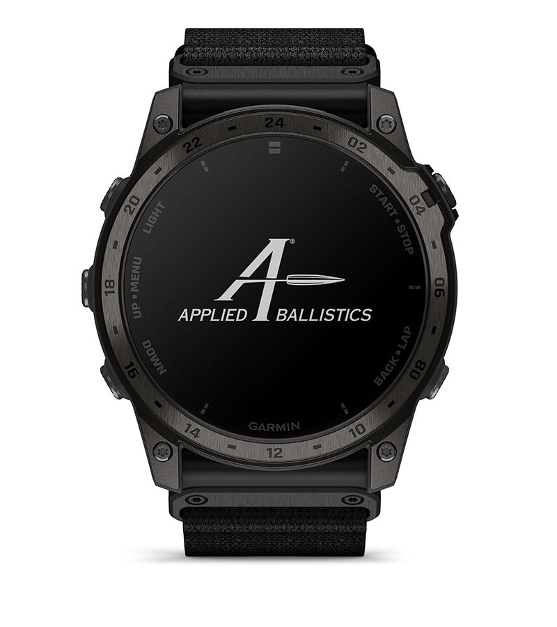
Unlock the Applied Ballistics solver via the AB Synapse – Garmin app (unlock fee required) to access aiming solutions for long-range shooting in the field.

Whether viewed under NODs or operating in the dark, NVG mode allows for stealthy operation with controls to further dim brightness and black out the display to reduce detectability.

While keeping the watch operational, stealth mode stops storing and sharing your GPS position and disables wireless connectivity and communication.

Set and save remote geo positions to be used later for navigation.

A dedicated rucking activity profile allows you to input your pack weight.

Navigate straight to a location or waypoint in the worldwide aeronautical database. Or choose the Nearest function to activate a path to a nearby airport.

Access aviation weather, including NEXRAD radar, METARs and TAFs, to see winds, visibility, barometric pressure and more1.

Download the AB Quantum mobile app on your compatible Apple® or Android™ smartphone to manage profiles and targets or use your smartphone as an additional display.

A dedicated timer helps you know the remaining time in your current course of fire or stage.
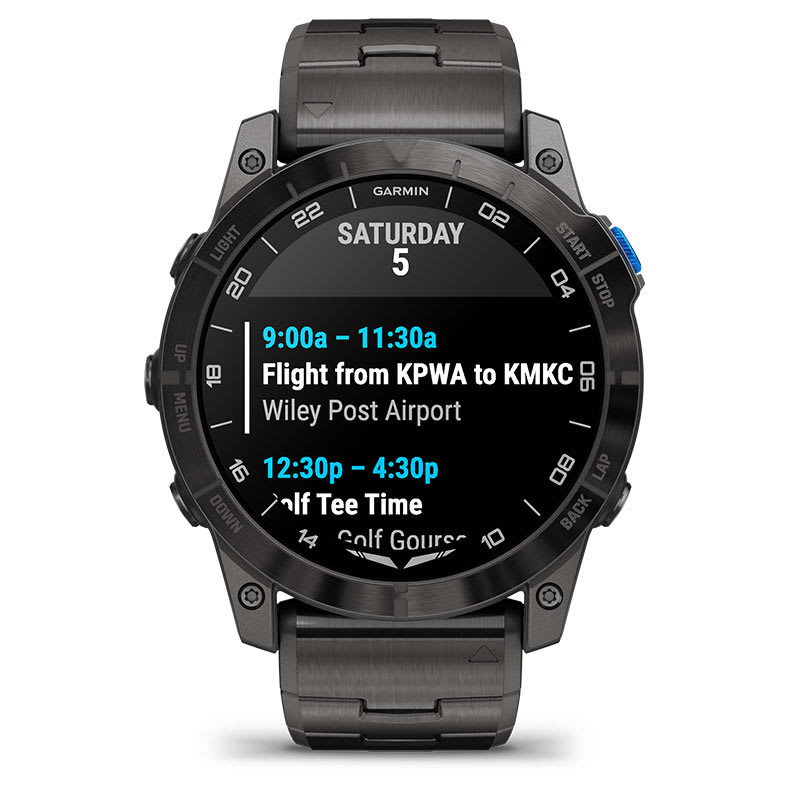
Receive emails, texts and alerts right on your watch when paired with your compatible smartphone.
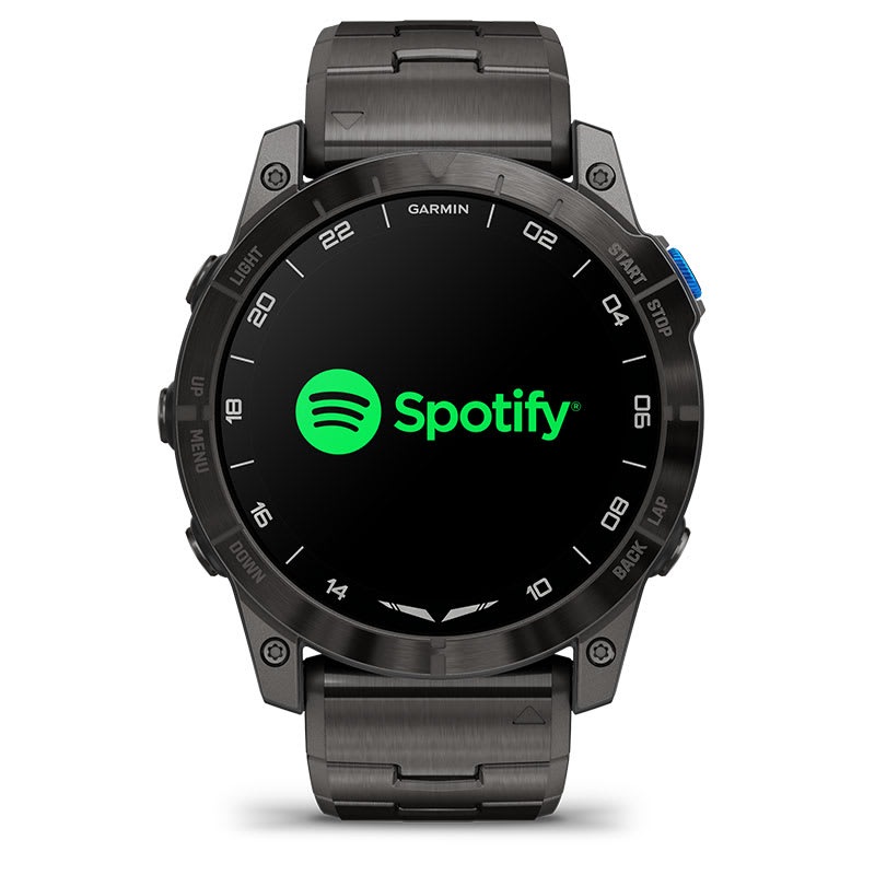
Download songs plus playlists from your Spotify, Deezer or Amazon Music accounts (subscription may be required). Connect to your audio panel, or use wireless headphones for phone-free listening.
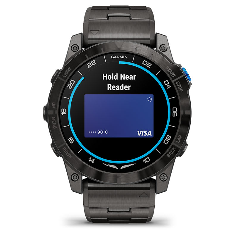
Breeze through checkout lines with Garmin Pay contactless payments through participating providers.
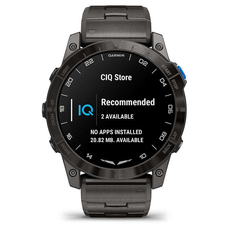
Download custom watch faces, add data fields, and get apps and widgets from the Connect IQ Store when paired with your compatible device.
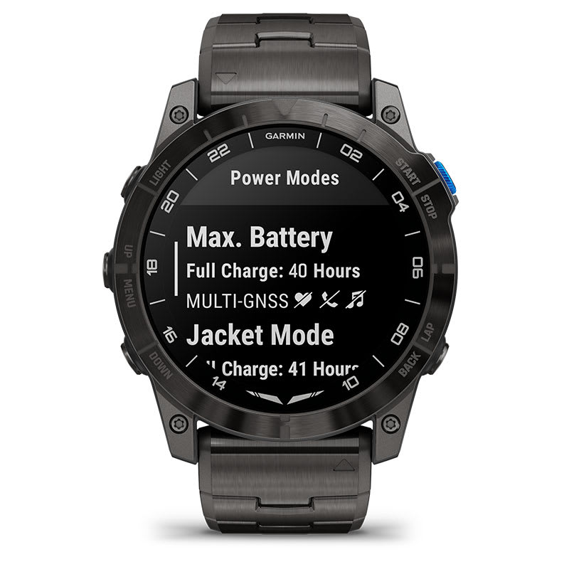
View how various settings and sensors impact your watch’s battery life, so you can make battery-extending changes on the fly.
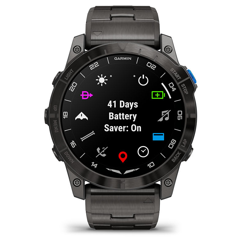
Get up to 25 days of battery life in smartwatch mode and up to 46 hours in the fly activity (GPS with SpO2).
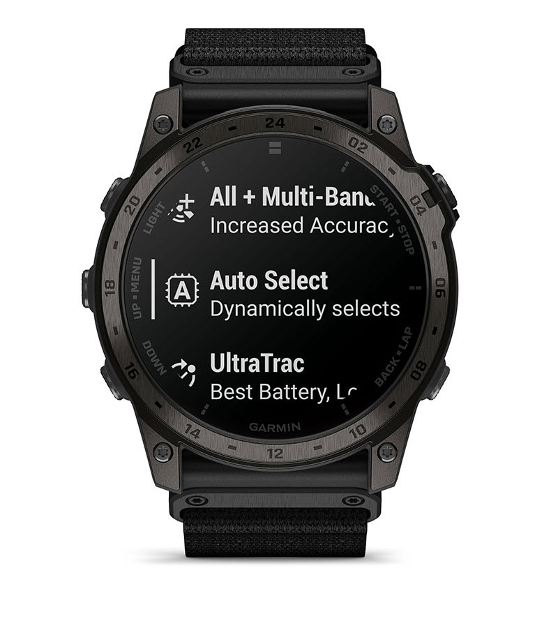
Multi-band GPS with SatIQ technology ensures superior positioning accuracy while also optimizing the device’s battery life.
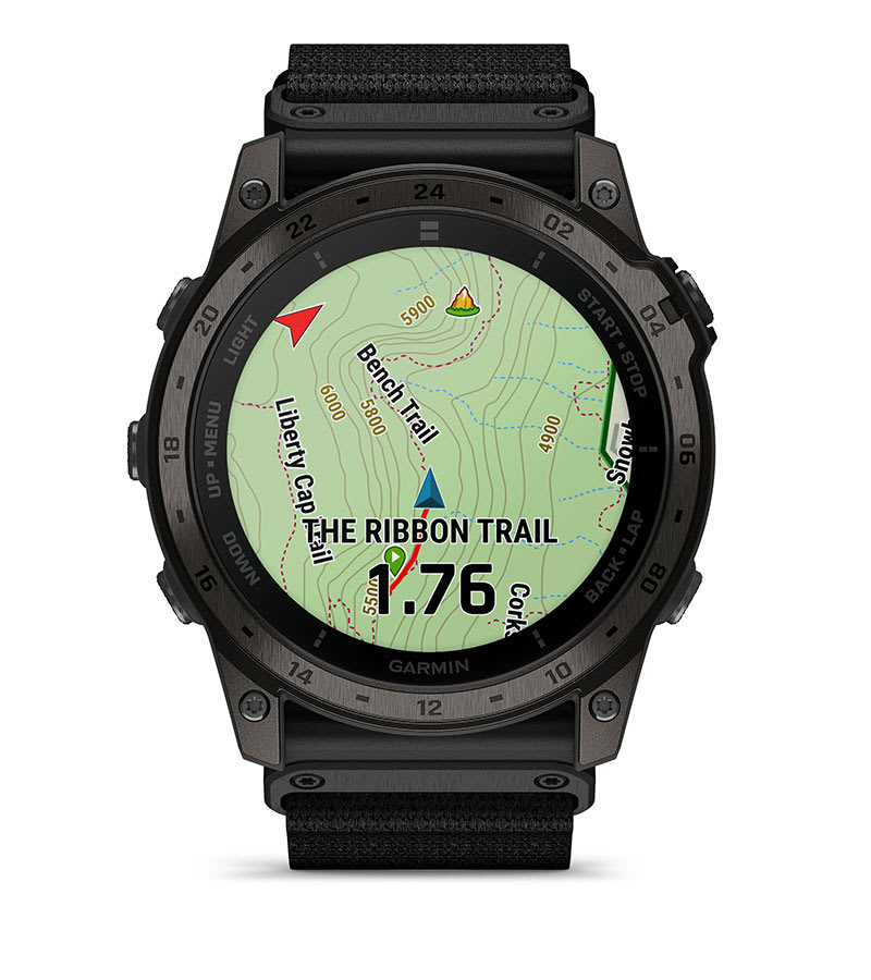
Easily navigate with a quick glance while you’re out on the trail. See the distance to the next trail intersection as well as the name of the upcoming trail.
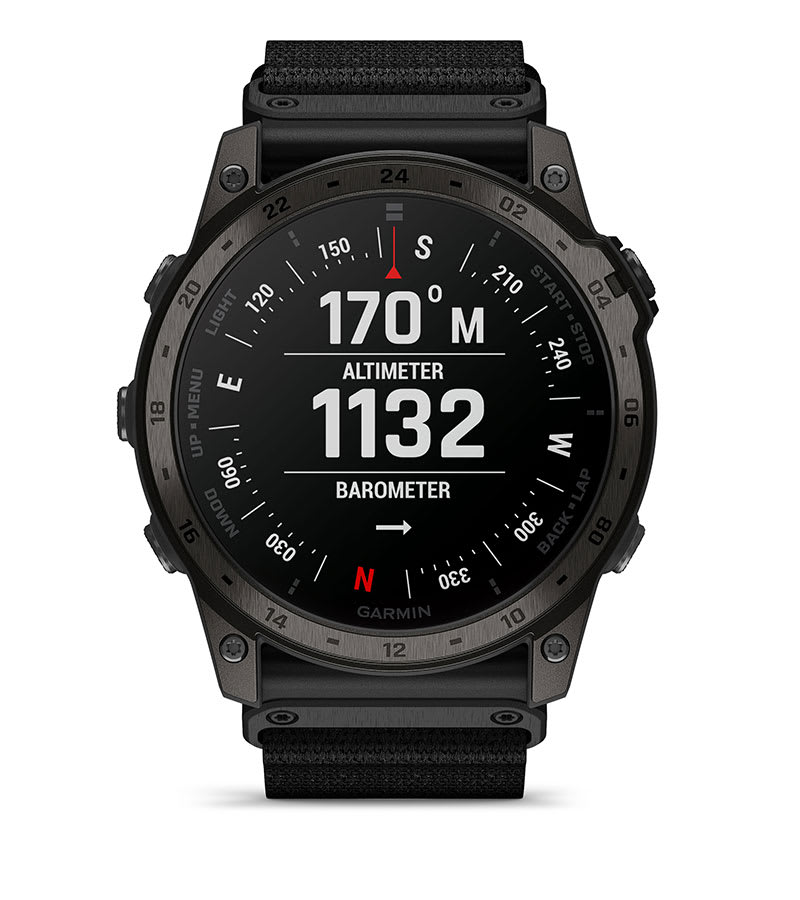
Navigate your next trail with ABC sensors, including an altimeter for elevation data, barometer to monitor weather and 3-axis electronic compass.
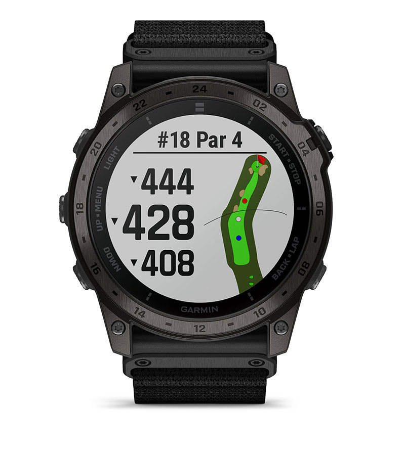
Access full-color CourseView maps for more than 42,000 golf courses around the world, and get button targeting and the PlaysLike Distance feature.
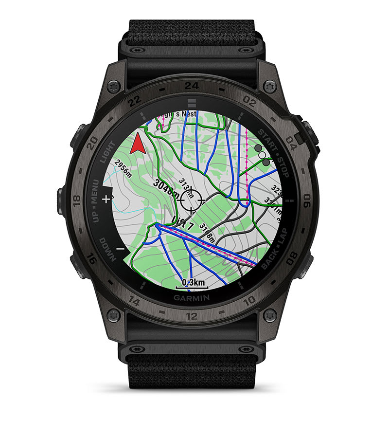
Take on the slopes with preloaded SkiView maps, and view run names and difficulty ratings for more than 2,000 ski resorts worldwide.
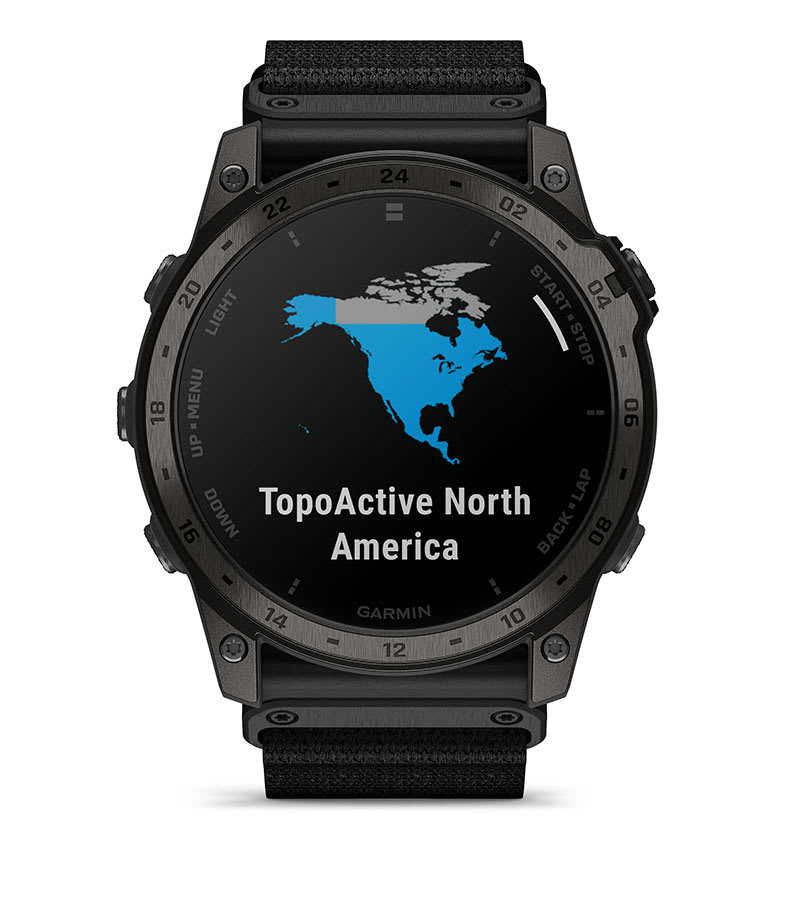
The tactix 7 smartwatch comes preloaded with TopoActive maps from your region and gives you free access to download additional maps from around the world to keep your explorations on track. Use built-in Wi-Fi® connectivity to easily load and update maps and software without using a computer.
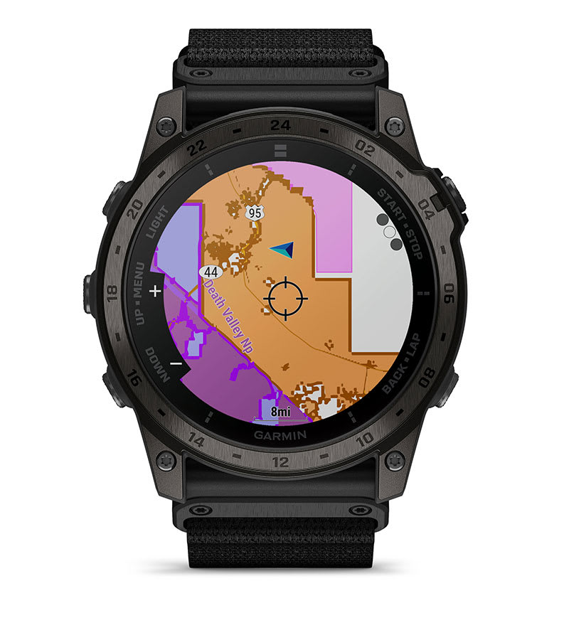
Optional display of federal public land boundaries on topographical maps helps you know that you’re venturing where you’re supposed to be.
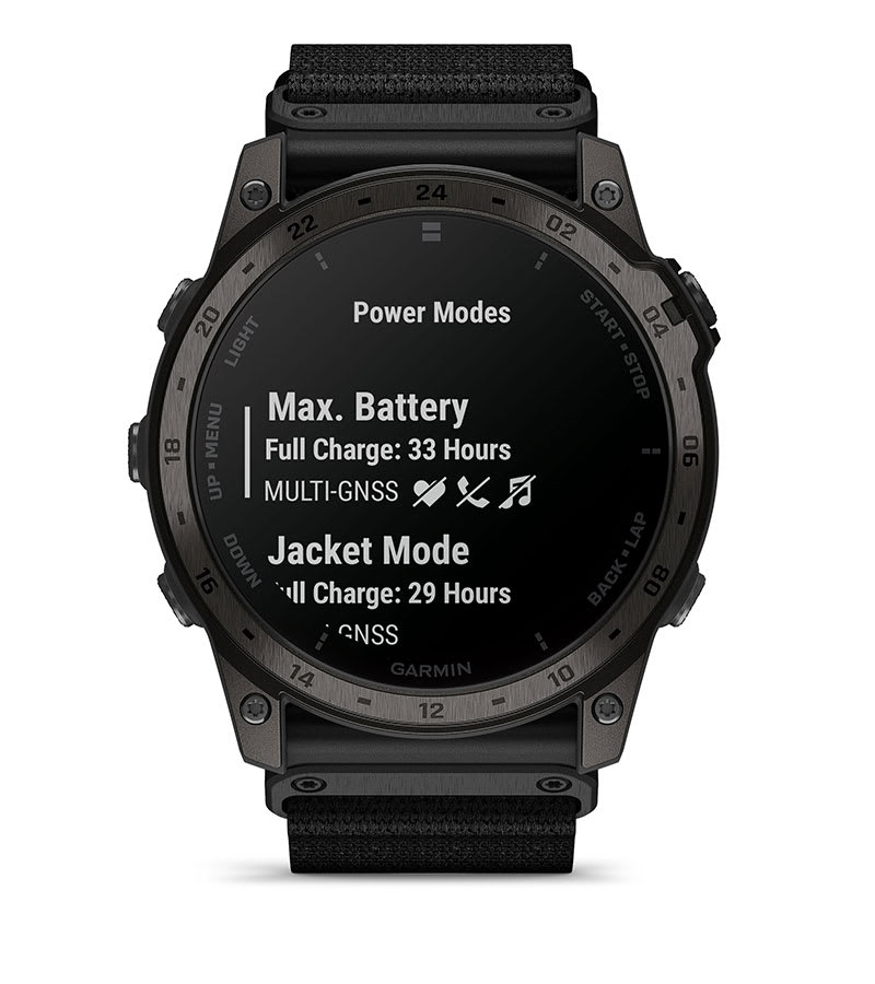
View how various settings and sensors impact your watch’s battery life, so you can make battery-extending changes on the fly.
Supplied by Tigera with the official Garmin regional warranty. Contents can vary slightly by production batch.
Photos welcome. Reviews are checked before they appear.
No reviews yet. If you own this one, you would be the first.